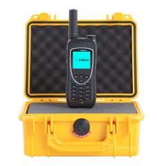
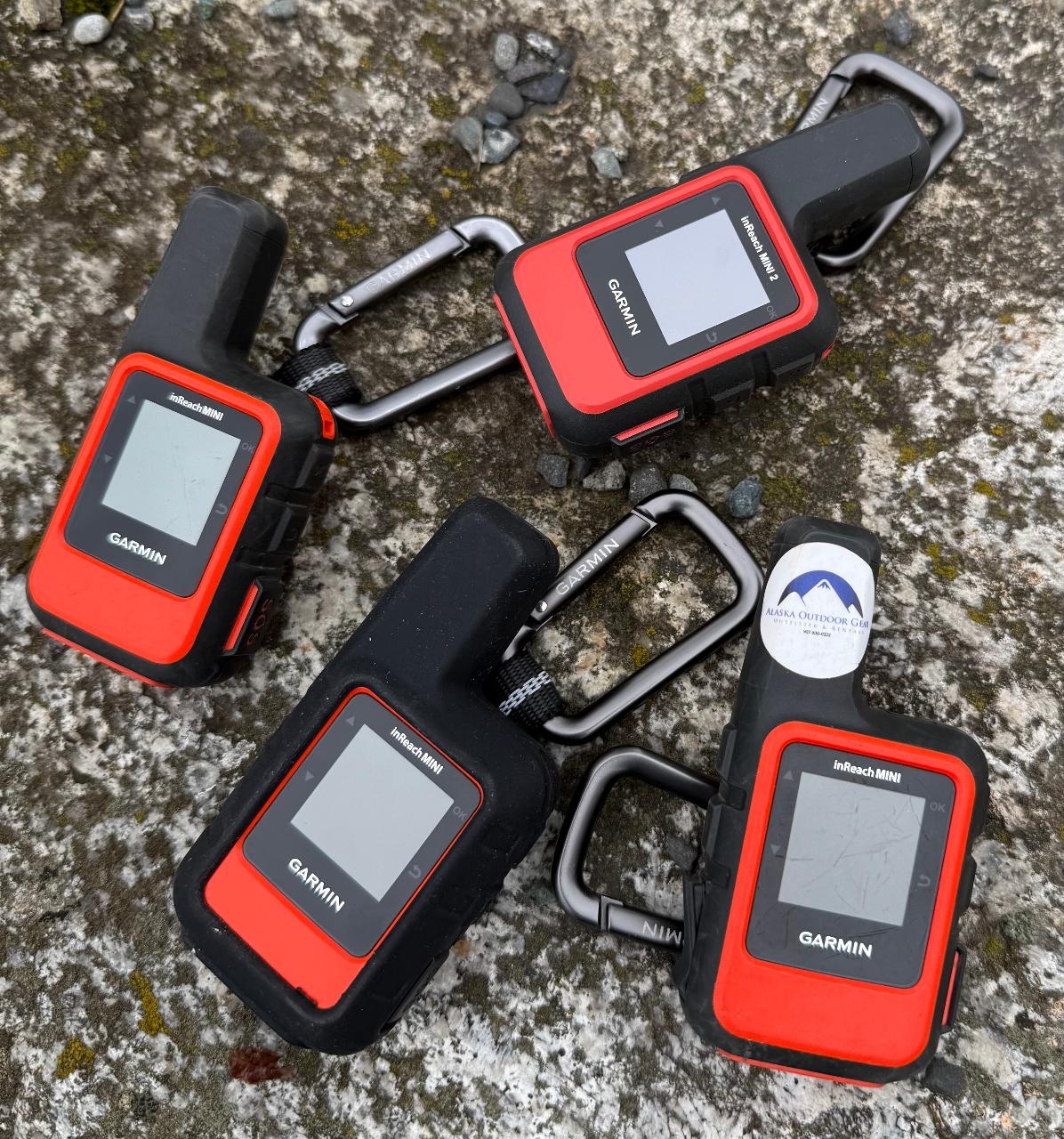
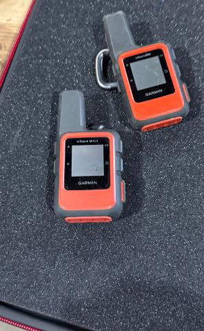
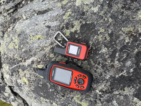
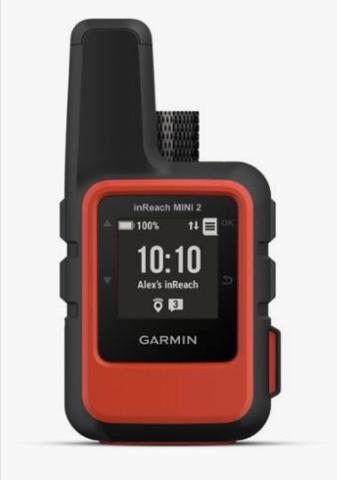
Garmin MINI inReach Explorer+ Satellite Communicator w/Maps & Sensors (Extra Fees for usage/TextDatapoints see below)


Extra charges: Text Msgs .75, Tracking points .15, Location Pings .15, premium weather $1.50. You’re never out of reach while carrying an inReach Explorer+. InReach provides communication, location sharing, navigation and critical SOS functions for anyone who spends time in the worlds most remote areas.
• 7.5 oz
Product Overview
• 100% global Iridium satellite coverage enables 2-way text/email messaging
• Flexible month-to-month, no contract service options (only necessary for communication features)
• Trigger an interactive SOS to the 24/7 search and rescue monitoring center
• Track and share your location with family and friends
• Pair with mobile devices using the free Earthmate® app for access to downloadable maps, U.S. NOAA charts, color aerial imagery and more
• Preloaded DeLorme® TOPO maps with onscreen GPS routing plus built-in digital compass, barometric altimeter and accelerometer
Using the worldwide coverage of the Iridium satellite network, these go-anywhere portable devices let you exchange text messages with any cell phone number or email address anywhere – while using GPS to track and share your journey’s progress. You can also post to social media or even communicate inReach-to-inReach in the field. In case of an at-risk situation, you can also use inReach to trigger an SOS to the 24/7 monitoring center, text back and forth about the nature of your emergency, and receive confirmation when help is on the way.
The optional weather forecast service provides detailed updates directly to your inReach device or smartphone / tablet paired with the Earthmate app, so you’ll know what conditions to expect en route. Basic and premium weather packages are offered.
Every inReach device comes with free access to a cloud-powered portal to plan your trips with routes and waypoints, create preset messages and quick texts, sync and manage your device settings, update your firmware, download additional TOPO maps, link your social media accounts, store all your location tracking data and much more.
When it comes to regular GPS functions, the inReach Explorer+ goes a step beyond, providing full-fledged GPS on-map guidance with preloaded TOPO mapping and waypoint routings viewable directly on the unit. Plus, a built-in digital compass, barometric altimeter and accelerometer are included with Explorer+ to help you get and maintain accurate bearings anywhere on or off the beaten path.
FEATURES
• Rechargeable internal lithium ion battery
• Battery Life: Up to 100 hours at 10-minute tracking mode (default); up to 75 hours at 10-minute tracking with 1-second logging; up to 30 days at the 30-minute interval power save mode; and up to 3 years when powered off
• Preloaded Map: 1:24K U.S. + Canada TOPO; 1:125K Mexico TOPO
• Included in Box: inReach Explorer+, USB cable, carabiner clip, documentation